Saint Mochulla’s Holy Well (possible), Ardbooly Lower, Tulla


Townland: Ardbooly Lower, Tulla
Description of Holy Well and Landscape Setting
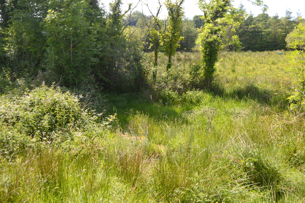
This may be one of the fifteen holy wells listed as being dedicated to Saint Mochulla. However its location is a little different to the other listed sites. This site of this holy well is located in a large open grazing field, two fields west of the nearby R462 local road.
The well is listed in records of the National Folklore Collection for ‘Ardboula Lower’.
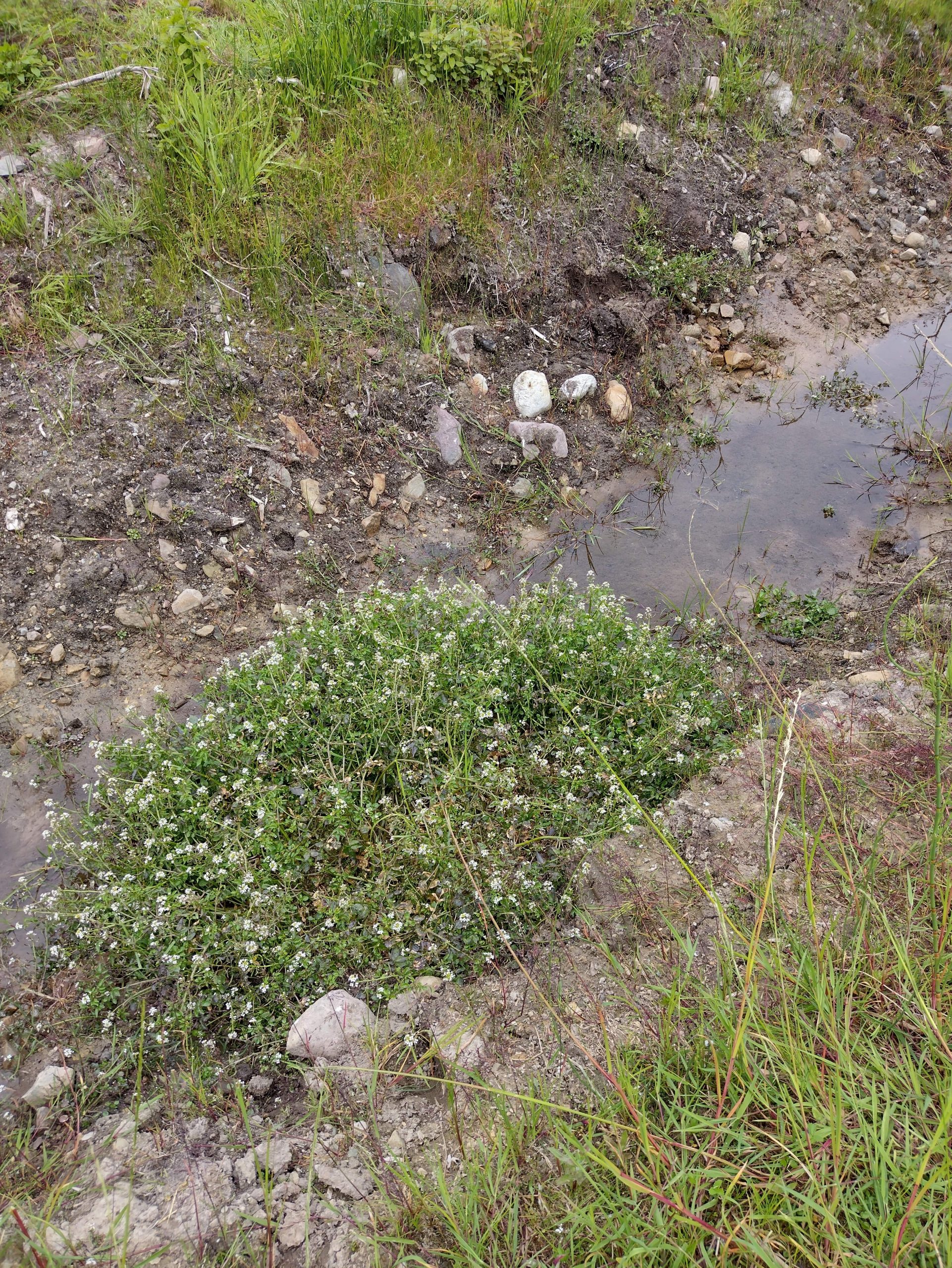
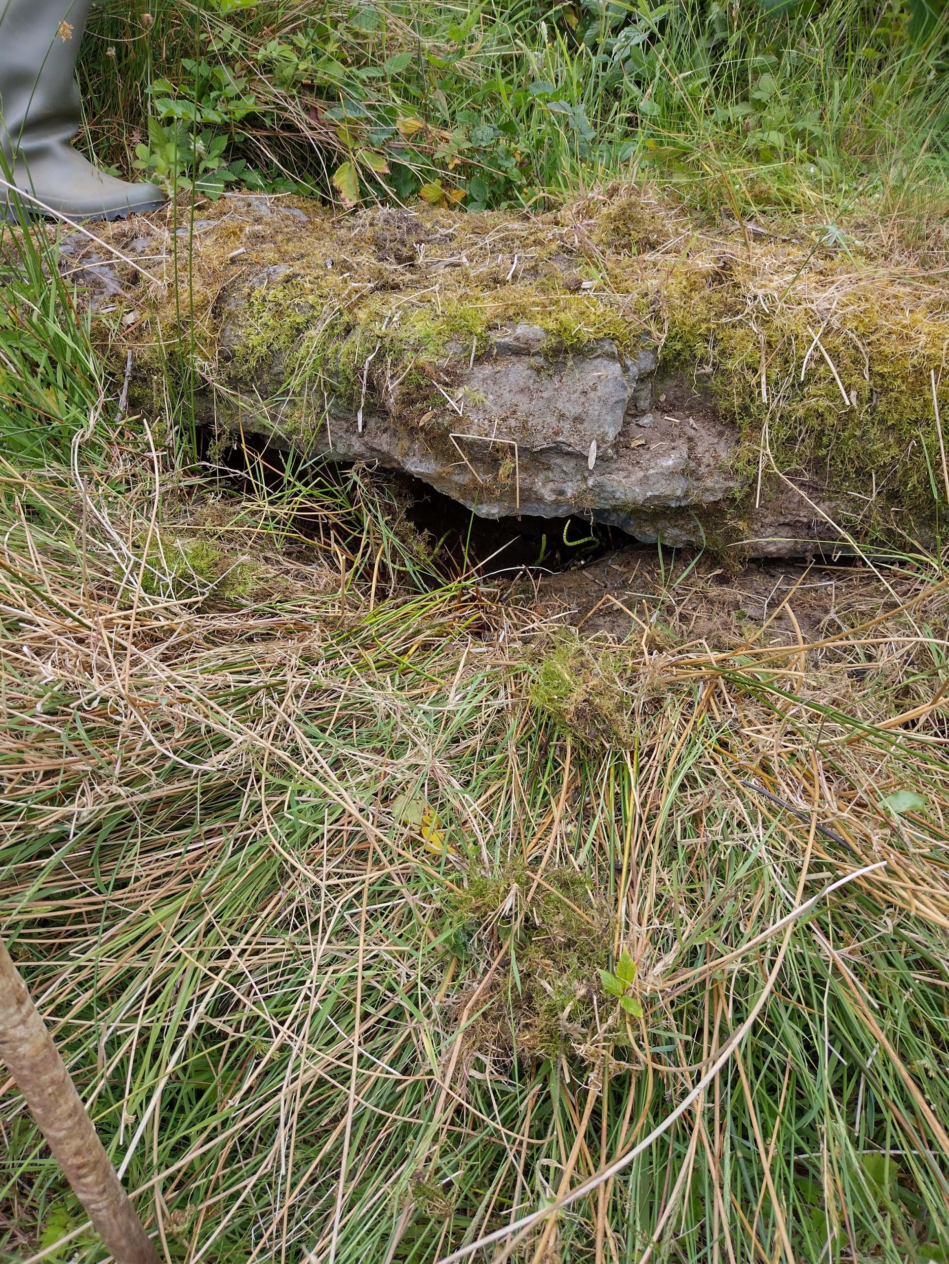
During the course of the research visit, the general area was identified but no spring or well demarcation could be found. To the south of the well location is a cillín, a graveyard on unconsecrated groun where unbaptised infants were sometimes buried. There are many instances where cillíní and holy wells are located in close proximity to one another. This reinforces the possibility that there was a holy well in this area at one time.
Saint and Feast Day Associated with Holy Well
There is local awareness of the well but it seems to no longer be visited.
Up until 1839 patterns were held at the principal wells dedicated to Saint Mochulla on the 23rd of March and the 23rd of June. Saint Mochulla’s Feast Day falls on the 11th January
Natural Heritage Around the Holy Well
The ground here is damp and overgrown in parts. There is a scattering of mature ash trees across the fields and further large trees in the hedges. Irises present at the site at the time of the research visit indicate wet ground.
Heritage Attractions Nearby
Ardbooly Lower is a 10 minute drive from Tulla Village, where food and accommodation may be found.
Additional Information
National Folklore Schools’ Collection, Knockjames National School, Volume 0590
‘In Ardboula there is a holy well in James Vaughans’ land. It lies at the end of a hill. At first it was at the top of the hill .One night a woman washed her cap in it. Next morning it was moved down to where it is now situated. The people of olden times used it for washing butter and for cures, but nowadays it is used for tea and drinking and no other purpose.
National Folklore Schools’ Collection, Volume 0589, 1938
‘Blessed wells – fifteen in number – geographically distributed over East Clare – bear the name Tobar Mochulla. Six of these are in the parish of Tulla and occupy positions to the east, west north and south of the Hill. They are to be found at Tulla, immmediately at the base of the Saint’s rampart and in the townlands of Fortanne, Drimleague (Miltown) Cragg, Laharden, Kilgorey. His other wells are at Loughraney, Lough Brighid, Broadford, Clonsheera (near Trough) Ralahine, Rath ( Ráth) (Sixmilebridge) Kilnoe, and Cappavilla.
Discover More…
National Folklore Collection, Schools Collection, 1930s
Record of Monuments and Places Number
RMP-CL027-009


No Comments
Add a comment about this page