Toberclehaun, Tobar Chleitheáin, Kilclehaun


Townland: Kilclehaun, Kilmurry-Ibrickan
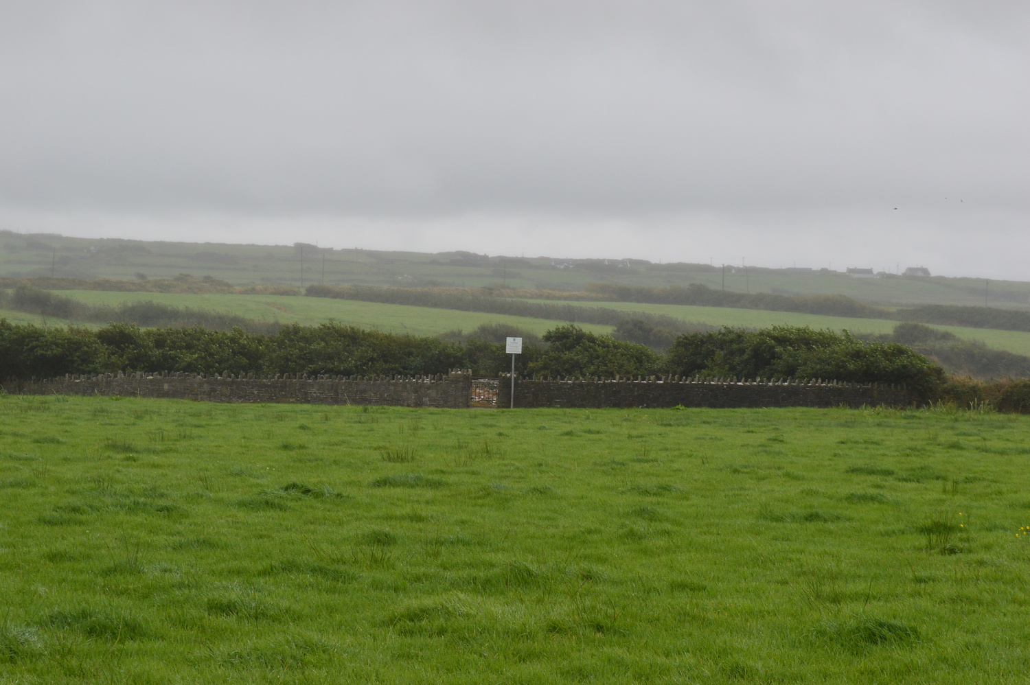
Description of Holy Well and Landscape Setting
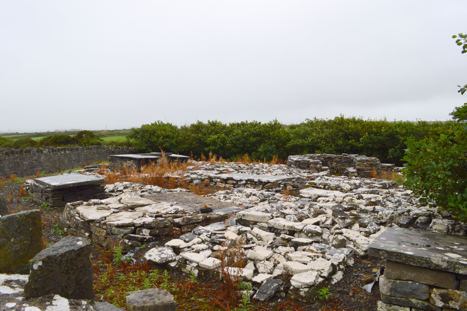
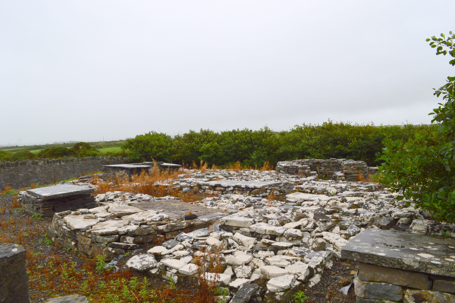
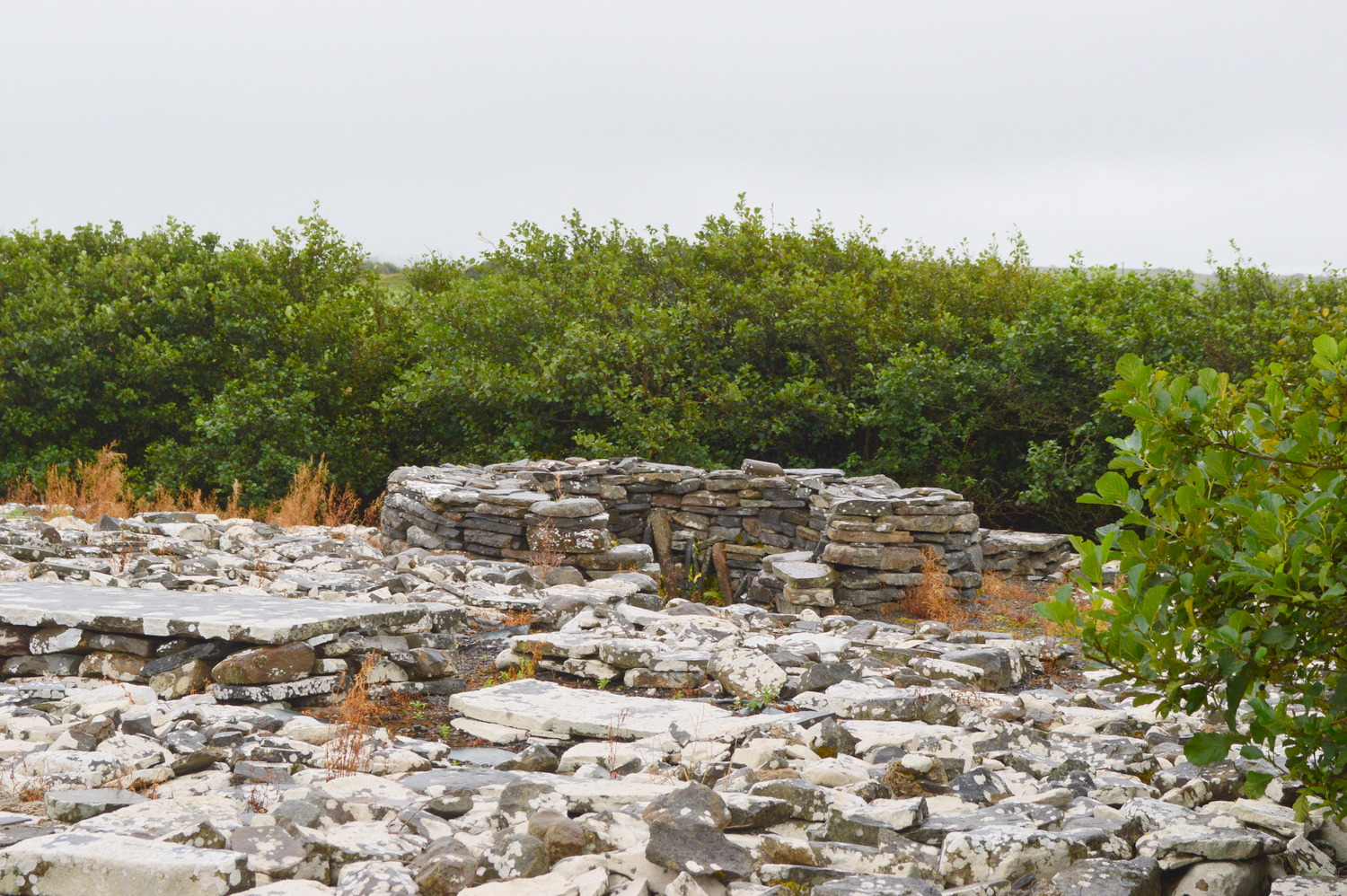
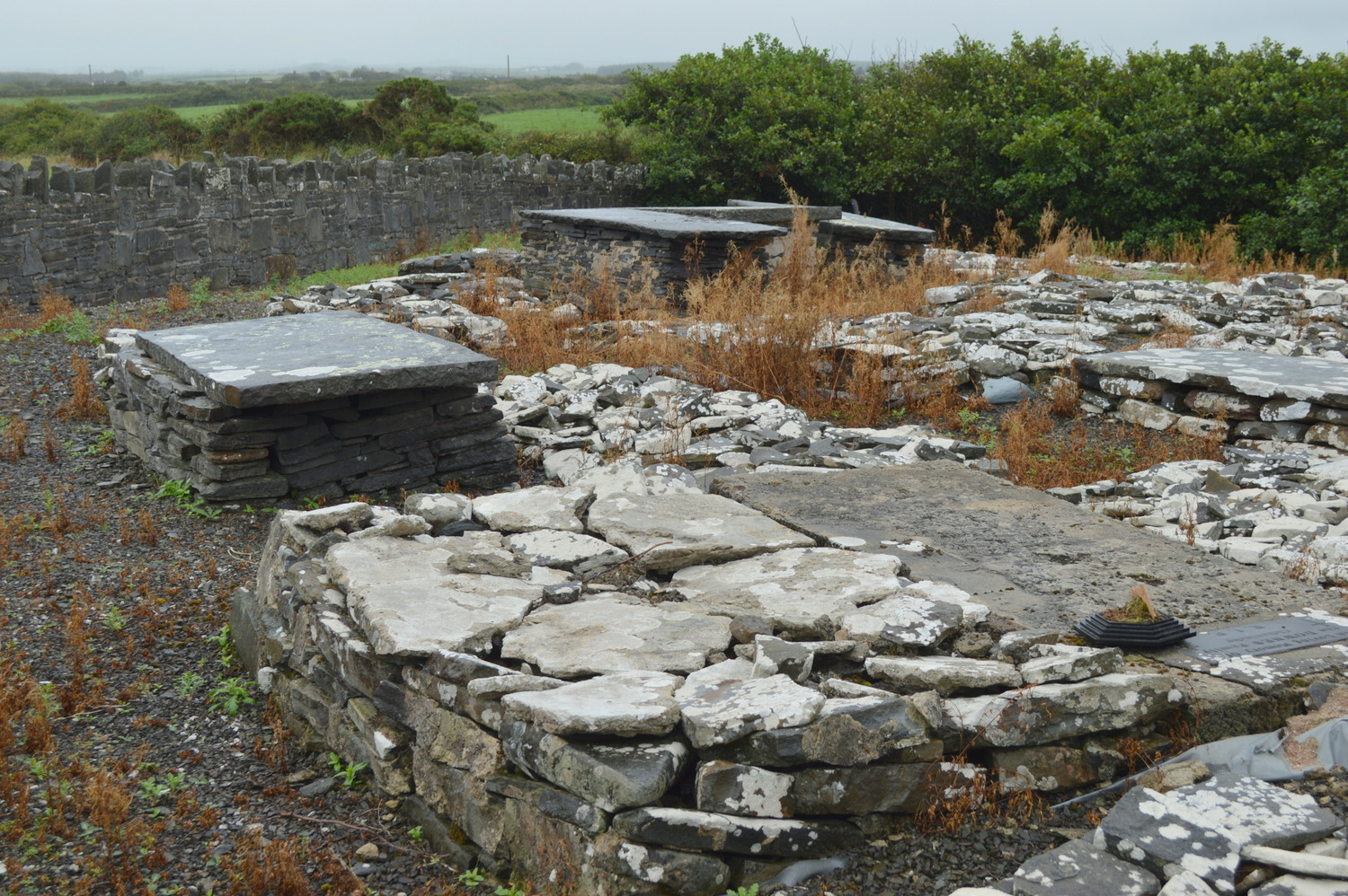
The holy well lies in a very old graveyard to the west side of a large pasture. The cemetery covers an area of less than one quarter acre and has a wall with an iron gate surrounding it. The graveyard has been tidied in recent years. The well stands at the heart of the graveyard, with steps leading down to the spring and a protective stone wall around. It is deep, containing about a metre of water.
There are references to an old ecclesiastical site in this area, and perhaps at one time this graveyard accommodated monks.
Saint and Feast Day Associated with Holy Well
In their written records, antiquarians link this holy well with Naomh Cleitheán, a native Irish saint. Little is know about Naomh Cleitheán. There was a local belief that the well was dedicated to Saint Bernard. There is no evidence of recent engagement with the well.
Natural Heritage around the Holy Well
The graveyard where the well lies is is located at the edge of a large meadow. Inside the workers who tidied the graveyard have laid down a plastic cover to prevent weeds, over which pebbles are placed. Existing grave markers are mostly made of stone and a few feature grave-slabs. There is no writing on most of the grave markers. There is hedging at the back of the site.
Heritage Attractions Nearby
The area where the holy well is located is just 1-2 kilometres from the coast. To the north of the well site lies Quilty and to the south is Doonbeg. Both are popular summer resorts. Doonbeg International Hotel offers golf and lunch.
Additional Information
Descriptive Remarks, Ordnance Survey Parish Namebook, 1839:
‘A holy well called Tubberclihaan in Kilclihaan burial ground…Names, Saint Clahane’s Well, Loughkilclahane, Kilclahane Fort, a [subn] Clonmore, Kileclahane, Kilclahane House, Knocknakilla’
Ordnance Survey Letters, 1839:
‘The other traces of antiquities in this Parish are the ruins of Forts and some Holy Wells dedicated to the Blessed Virgin and to the Milesian Saints, Ernán or Ferreolus, Bridget, Innyboy, Laichtin and Cleithean, but as none of these are historical and their names are accurately set down in the Field Name Books, it is unnecessary to repeat them here’.
Discover More…
Ordnance Survey Letters, Royal Irish Academy
Ordnance Survey Letters, Ask About Ireland
Record of Monuments and Places Number
RMP-CL038-02602


No Comments
Add a comment about this page