Toberkeagh Holy Well, Knockroe


Townland: Knockroe
Description of Holy Well and Landscape Setting
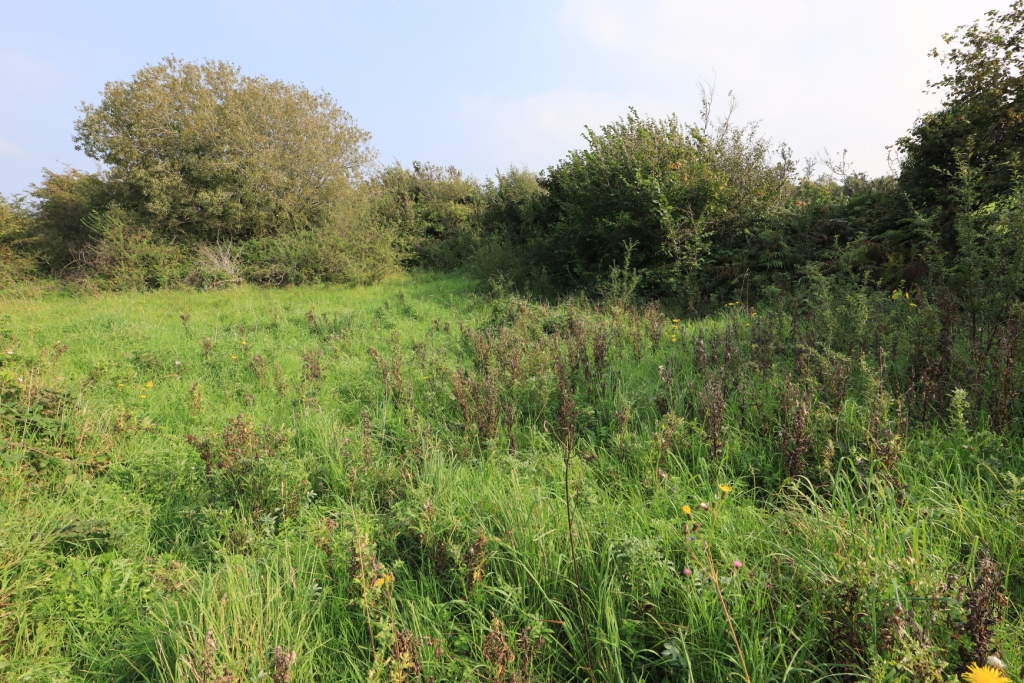
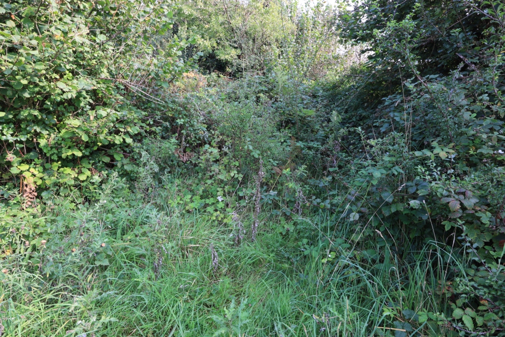
The location of this holy well is shown on the 1842 Ordnance Survey map and Record of Monuments and Places database as 200 metres east of the Kiltacky-Tulla Road. On more modern maps it is shown as being in a small clearing enclosed by hedgerows and scrub, with a fulacht fiadh nearby. The outline of this area was visible but the reported well site is overgrown and no trace of the well could be found at the time of the research visit.
Saint and Feast Day Associated with Holy Well
Nothing is known of the practice at this holy well. The saint associated with this well, along with the feast day and any cures have fallen out of memory and do not appear in historical records.
Natural Heritage around the Holy Well
The site of the well lies in the Burren Lowland in a field of very rough unimproved grazing. There are areas of raised limestone pavement to the east.
Record of Monuments and Places Number
RMP CL007-005002


No Comments
Add a comment about this page