

Townland: Keelhilla
Keelhilla, from the Irish ‘Coill an Iolair’.
The placename suggests that the area was forested in the past. The word Iolair or ‘Eagle’ in the placename refers to the Golden Eagle, which nested in the cliffs across the modern road to the west. The cliffs are known as Eagle’s Rock.
Description of Holy Well and Landscape Setting
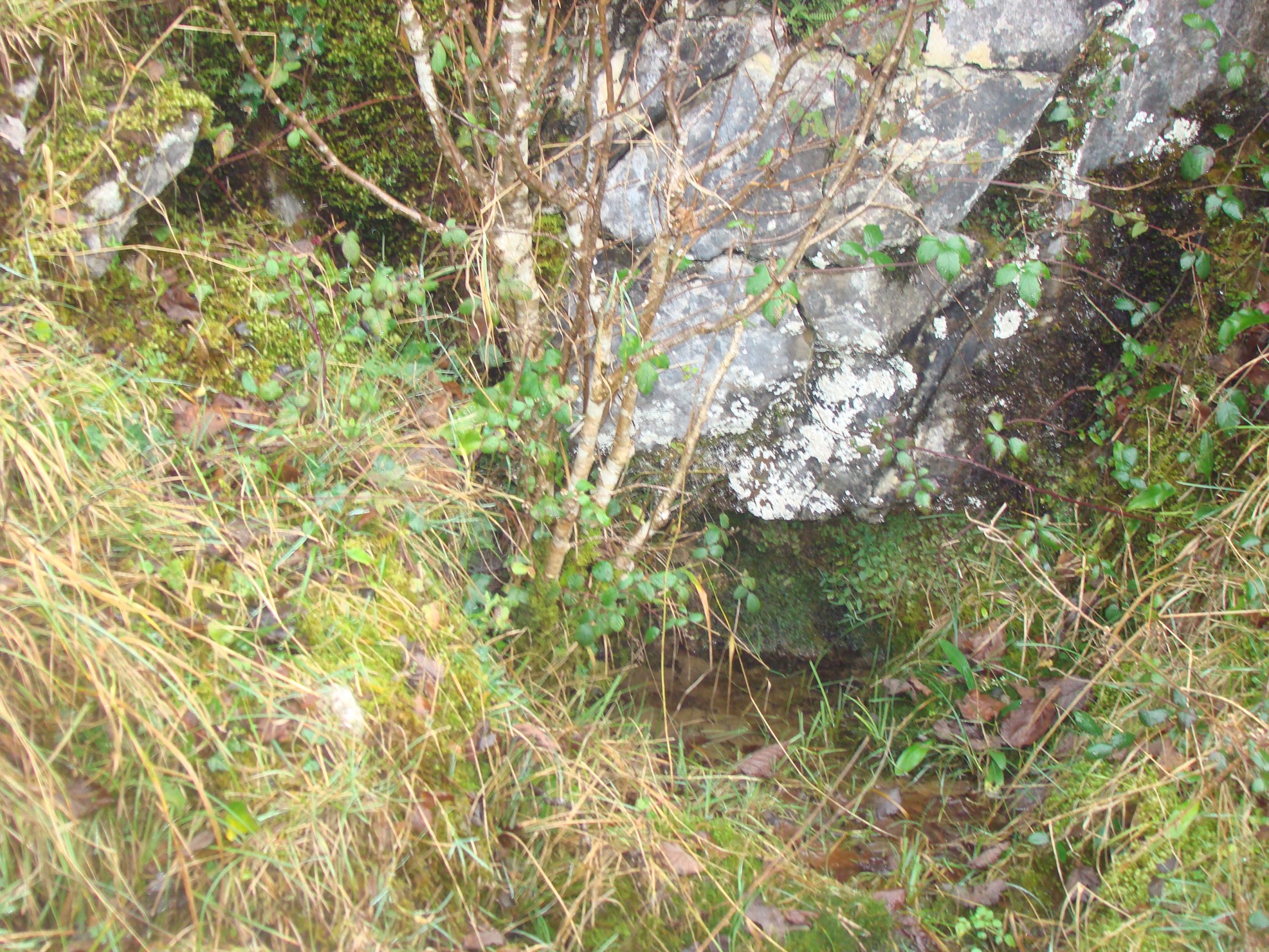
This holy well is found on the western slopes of Turloughmore Mountain in the Burren National Park. The site is 83.83 metres above sea level. The well water emerges as a naturally occurring spring at the base of a low cliff. The spring is generally no more than a trickle and the water pools in small quantities. The well is located on a terrace at the butt of the cliff. There is a short, worn path on the terrace leading in to the well.
This County Clare well is about 100 metres from the boundary with County Galway. The dry stone wall to the east of the site is an administrative wall which functions as a townland, barony and county boundary!
The biggest threat to the site was scrub in the form of white thorn and hazel. The National Parks and Wildlife Service removed this scrub and access to the well is now easier.
Saint and Feast Day Associated with Holy Well
Presumably the Kieran referenced in the name of this holy well is Saint Ciarán of Clonmacnoise. He appears more in the hagiographical record than his namesake Saint Ciarán of Seirkieran. Pádraig Ó Riain writes that this is because of the remarkable role of Saint Ciarán’s Church at Clonmacnoise, as a centre of cultural, political and ecclesiastical activity up to the end of the 12th century. This well dedication is curious, as the cult of Ciarán is very limited in County Clare. There is no record of the pattern day or the rituals at this holy well site.
The well is almost certainly a satellite monument of Saint Colman’s Hermitage, which is about 3 kilometres away.
The medieval Clonmnacnoise Monastery of Saint Ciarán hosted a house of Augustinian canons. Saint Colman’s Hermitage was also administered by the canons from the monastery at Kilmacduagh. It is possible that the Augustinian canons at Kilmacduagh dedicated (or re-dedicated) the well to Ciarán, the cult figure of their fellow canons in the midlands.
Kilmacduagh monastic site is about 10 kilometres east of the holy well site. According to tradition, the monastery was founded by Colmán Mac Duagh after he had spent seven years in the hermitage at the base of Eagle’s Rock. Older locals speak of a pilgrimage being made between Kilmacduagh and the hermitage in the past, known as Saint Comán Mac Duagh’s ‘camino’.
Natural Heritage around the Holy Well
The well is located on a great expanse of limestone pavement. This is a priority EU flower habitat.
Heritage Attractions Nearby
Saint Colmán Mac Duagh’s hermitage is about 3km south-west of Tobarkieran. It is set in mature native woodland with an ancient church, outdoor altars, holy well, saint’s bed (cave) and a bullaun stone. Nearby is the site of the Easter miracle of Colmán Mac Duagh. Kinvara is 9 kilometres north-west of the holy well
Additional Information
There are four holy wells in the townland of Keelhilla. If one progresses west from Tobarkieran to the hermitage of Saint Colmán Mac Duagh, one meets with all four wells in the following order – Tobarkieran, Tobershanballymore, The Man Servant’s Grave (holy well) and Tobemacduagh in the hermitage itself. This route would have meant an elliptical or oval shape for the end part of the pilgrimage and would also have made for an easier passage for pilgrims coming from the north-east Gort area.
Discover More…
Ó Riain, P 2011 ‘ A Dictionary of Irish Saints‘, Four Courts Press Ltd, Dublin, Ireland
Record of Monument and Places Number
RMP CL006-030
Special Area of Conservation


No Comments
Add a comment about this page