Tobar na Naoimh, the Well of the Saints, Lakyle


Townland: Lakyle, Clonrush
Lakyle may be ‘Leath Choill’ meaning ‘Half Wood’ or perhaps ‘Leamh Choill’ meaning Elm Wood
Description of Holy Well and Landscape Setting
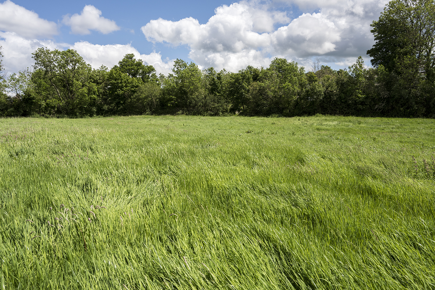
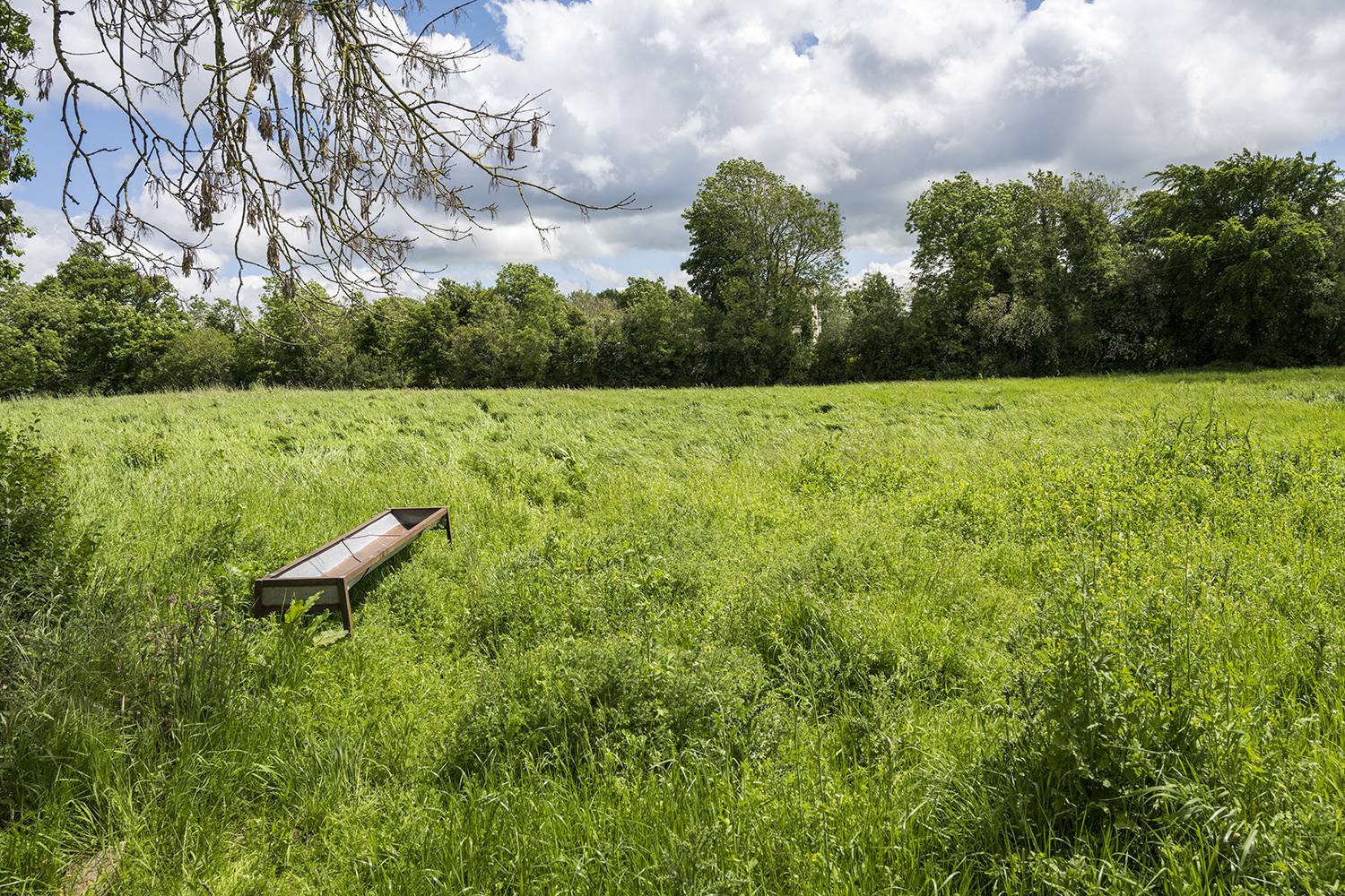
The well is located close to Cappaghabaun Mountain, near the secondary road R352. The well once lay at the centre of a meadow but has been covered in in recent decades according to locals. No sign of the holy well remains.
Saint and Feast Day Associated with Holy Well
The name of this holy well translates as ‘The Well of the Saints’. Locals who visited the site knew it as Saint Brigid’s Well. One family living close by would visit the well on the 1st of February in the past.
Natural Heritage around the Holy Well
There were tall grasses growing in field at time of the research visit. Ash, alder, whitethorns and blackthorns grow in the hedges around.
Heritage Attractions Nearby
The village of Whitegate is close to the holy well site, and refreshments can be found here. Lough Derg offers boating, fishing, wildlife and trips to Holy Island (Iniscealtra).
Additional Information
‘In Allston a subdivision of Laughil—Leath choill-townland, is a burying place called Cill (Kill). A holy well called Tobar na naemh (Tobernaneeve) the well of the saints, lies near ¼ mile from Whitegate village…’ ( LSO (Ga), ii, 179/531 TO’C).
Discover More…
Record of Monuments and Places Number
RMP-CL021A007


No Comments
Add a comment about this page