Tobermoghua, Noughaval


Townland: Noughaval
Description of Holy Well and Landscape Setting
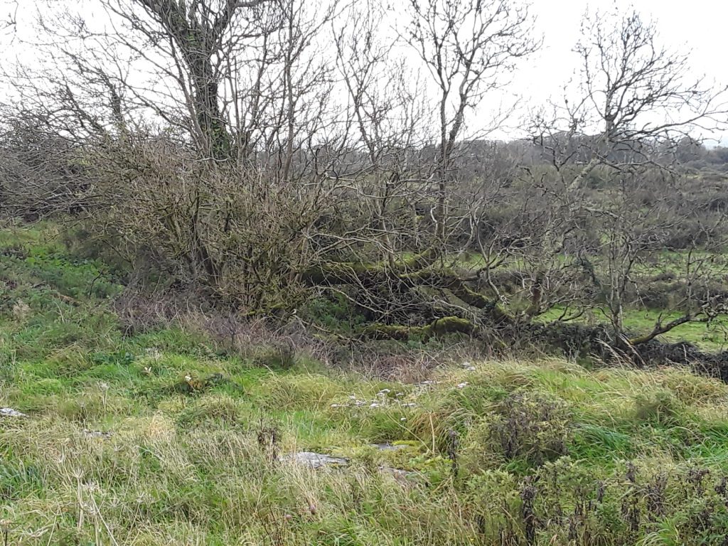
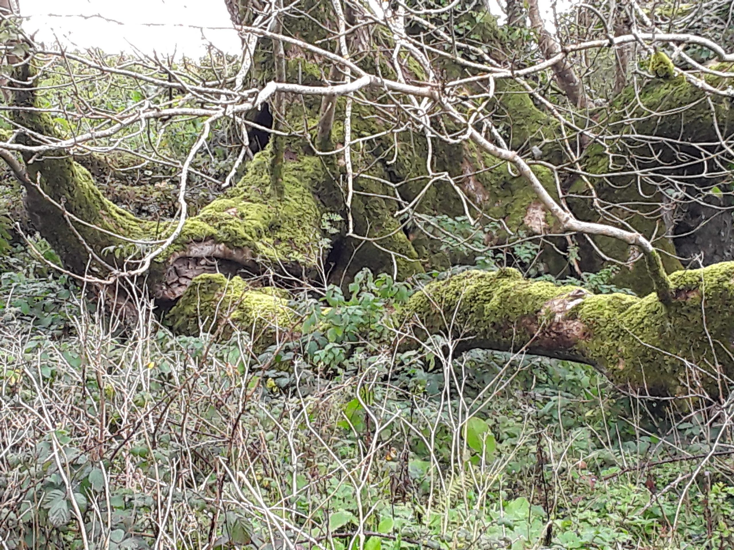
This holy well takes the form of a bullaun, a basin-like hollow in limestone which collects rainwater. It is located in Noughaval Village and was once part of a monastic complex. Today, the well is separated from the rest of the complex by a boundary wall. It is a few hundred metres north of the 13th century church, in the corner of a field with a boundary wall between it and the road. The monastic site and well are on an ancient North Clare routeway.
A blessed tree stands over the well site and is thriving. Ash trees at the well collapsed 1896 and again in the 1940s. Debris from these collapsed trees covers the holy well today.
Saint and Feast Day Associated with Holy Well
‘Moghua’ is almost certainly a corruption of ‘Mac Duagh’. The Ordnance Survey Letters note that:
‘It is probable that the true name is Tobar Mic Duach’
Robert Frost writes in 1893: ‘Near at hand also is a well dedicated to St. Colman MacDuach’
Saint Mac Duagh’s cult is spread across South Galway and North Clare, with numerous wells dedicated to him. The pattern date at this holy well was 10th February. This is the octave or eighth day after Mac Duagh’s feast day. The rounds or ‘turas’ at the holy well consisted of five Our Fathers and five Hail Marys. Pilgrims would make their way around the tree.
Thomas L. Cooke recorded in the 1840s:
“On the wall enclosing this well, I saw many whitish round flat stones, about five inches in diameter; these stones resembled cakes of bread, and seemed to be offerings to the patron saint’
The tree at the well was known as ‘The Blessed Tree’ and enjoyed cult status as the field where it stood was known as ‘Páirc Na Crainn’ , The Field of the Tree.
The well was believed to hold a cure for warts and sore eyes. T.J. Westropp wrote in the early 1900s: ‘Stations were held till late years….at Tobermogua well at Noughaval’
The well was known to have been visited in living memory and older people in the community remember offerings being left at the holy well
Natural Heritage around the Holy Well
The well is located in an area of limestone pavement and thin soils. This environment is very species-rich. It is used for the grazing of cattle in winter.
Heritage Attractions Nearby
Noughaval monastic site is close to the holy well and Kilfenora is a further 5.5 kilometres south-west of Noughaval. The great ring fort of Caherballykinvarga is 3 kilometres south of well site. (Access only with consent of owner)
Discover More…
Ordnance Survey Letters, Royal Irish Academy
Ordnance Survey Letters, Ask About Ireland
Cooke, T.L 1842, ‘Autumnal Rambles about New Quay, County Clare’ in Galway Vindicator Newspaper
Frost, J 1893, The History and Topography of the County of Clare: From the Earliest Times to the Beginning of the 18th Century, Sealy, Bryers & Walker, Dublin
Westropp, T.J. 1912, A Folklore Survey of County Clare, edited in 2000 by Maureen Comber, CLASP Press, Ennis.
Record of Monuments and Places Number
RMP CL 009 – 05926
Special Area of Conservation


No Comments
Add a comment about this page