
Townland: Kiltanon, sometimes known as Kiltannon.
The well lies across the river from the grounds of Kiltannon House.
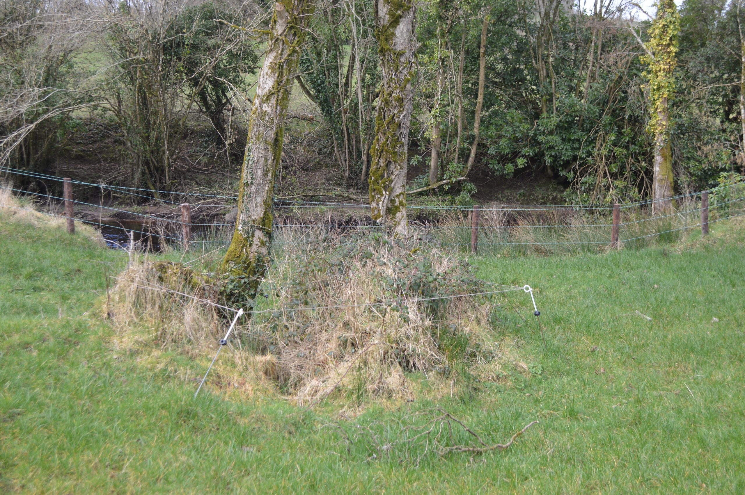
Description of Holy Well and Landscape Setting
The well lies about 50 metres from the Kiltannon River. It is at the base of a west facing slope, in a wet and scrubby oblong depression. There is an active flow in the spring which is being directed into the river by use of a pipe. The well is named as ‘Toberbreedia’ on all historic Ordnance Survey mapping.
The well is secured and well protected against animal intrusion. There were no signs of pilgrimage activity at the time of the research visit.
Eugene O’Curry writes in the Ordnance Survey Letters:
‘there is another Holy well dedicated to St. Bridget in the townland of Kiltannon, at which stations continue to be performed’
Vol. 2, 1829, 283
Saint and Feast Day Associated with Holy Well
This well is dedicated to the patroness of Ireland, Saint Bridget. As this is a Brigid’s Well, it is likely that the annual pattern or feast day was 1st February, Saint Bridget’s Day or ‘Lá le Bríde’.
Natural Heritage around the Holy Well
The well lies in a rich grazing field beside the Kiltannon River. Near the site are the remains of the old estate bridge that was destroyed during the Civil War.
Heritage Attractions Nearby
The gate lodge of Kiltannon House and the famous Toomeens Caves are on the other side of the river. The river flows through the collapsed cave system here.
Tulla village and its 15th century St. Mary’s Church are just 10 minutes away from the holy well site.
Discover More…
Ordnance Survey Letters, Royal Irish Academy
Ordnance Survey Letters, Ask About Ireland
Record of Monuments and Places Number
RMP – CL027-025


No Comments
Add a comment about this page