Tobar Mochulla, Tobar Mochuille, Knockdrumleague


Townland: Knockdrumleague, (Miltown), Tulla
Description of Holy Well and Landscape Setting
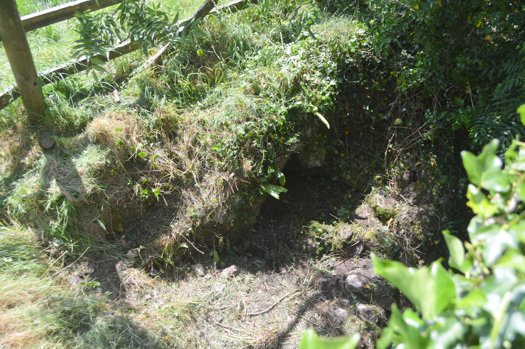
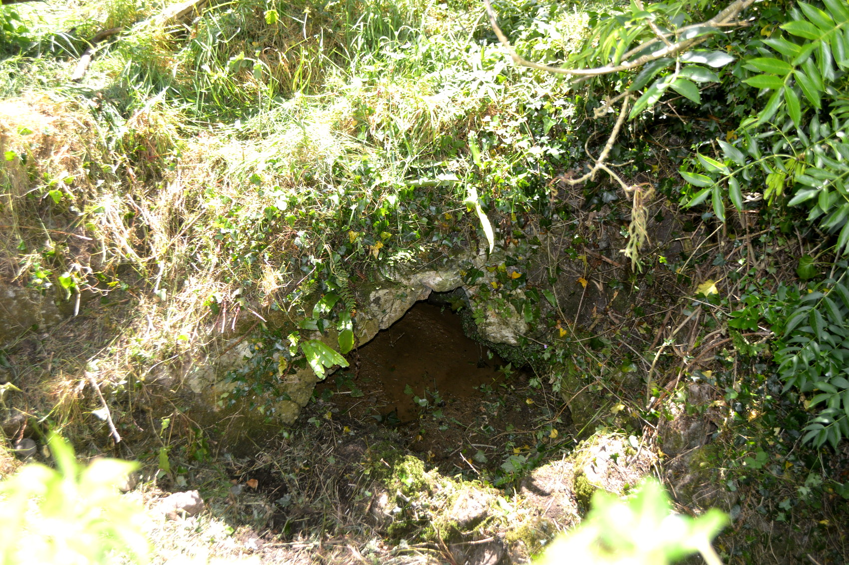
There was some disagreement about the specific location of this holy well. The older generation in the locality believe that the well originally stood in an open field beneath a whitethorn tree. Younger residents believe that the tree was closer to the bridge. Eventually this holy well was found within 2-3 metres of the bridge and stream.
Some locals felt that this was a domestic well and other said that they understood this to be Saint Mochulla’s well. There are many instances of holy wells ‘migrating’ to a new location and perhaps this may explain the different accounts and locations of this well.
Saint and Feast Day Associated with Holy Well
Up until 1839 patterns were held at the principal wells dedicated to Saint Mochulla on the 23rd of March and the 23rd of June. The Saint’s Feast Day was on the 11th January. There were no votive offerings at this well at the time of the research visit, nor was there any information on prayers or rituals. It is believed that there has been no pilgrimage activity at the well in the last two generations.
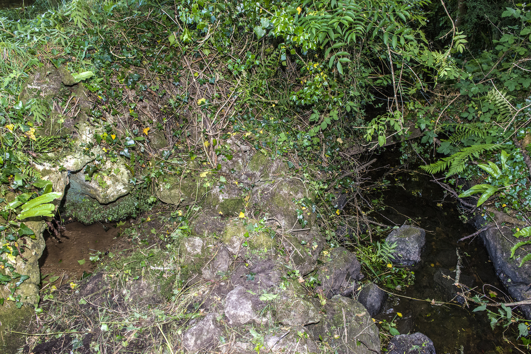
Natural Heritage Around the Holy Well
The holy well is on the left bank of the stream immediately below the bridge. It stands at the edge of a small grazing field beside a newly constructed house.
Heritage Attractions Nearby
Tulla Village is 4 kilometres east of the well site. About 4 kilometres to the west are the caves of Kiltanon.
Additional Information
John O’Donovan, Ordnance Survey Letters 1839:
There is another Holy Well called Tobar-Mochuille in the Townland of Knockdromleagh, at which Stations continue still to be performed.
National Folklore Schools’ Collection, 1930s:
‘Blessed wells – fifteen in number – geographically distributed over East Clare – bear the name Tobar Mochulla. Six of these are in the parish of Tulla and occupy positions to the east, west north and south of the Hill. They are to be found at Tulla, immmediately at the base of the Saint’s rampart and in the townlands of Fortanne, Drimleague (Miltown) Cragg, Laharden, Kilgorey. His other wells are at Loughraney, Lough Brighid, Broadford, Clonsheera (near Trough) Ralahine, Rath ( Ráth) (Sixmilebridge) Kilnoe, and Cappavilla’.
Discover More…
National Folklore Collection, Schools Collection, 1930s
Ordnance Survey Letters, Royal Irish Academy
Ordnance Survey Letters, Ask About Ireland
Record of Monuments and Places Number
RMP-CL035-017


No Comments
Add a comment about this page