Treanmanagh Holy Well


Townland: Treanmanagh
Description of Holy Well and Landscape Setting
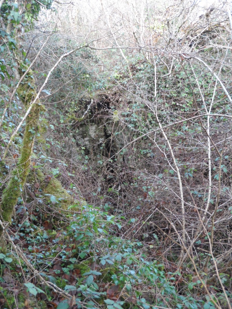
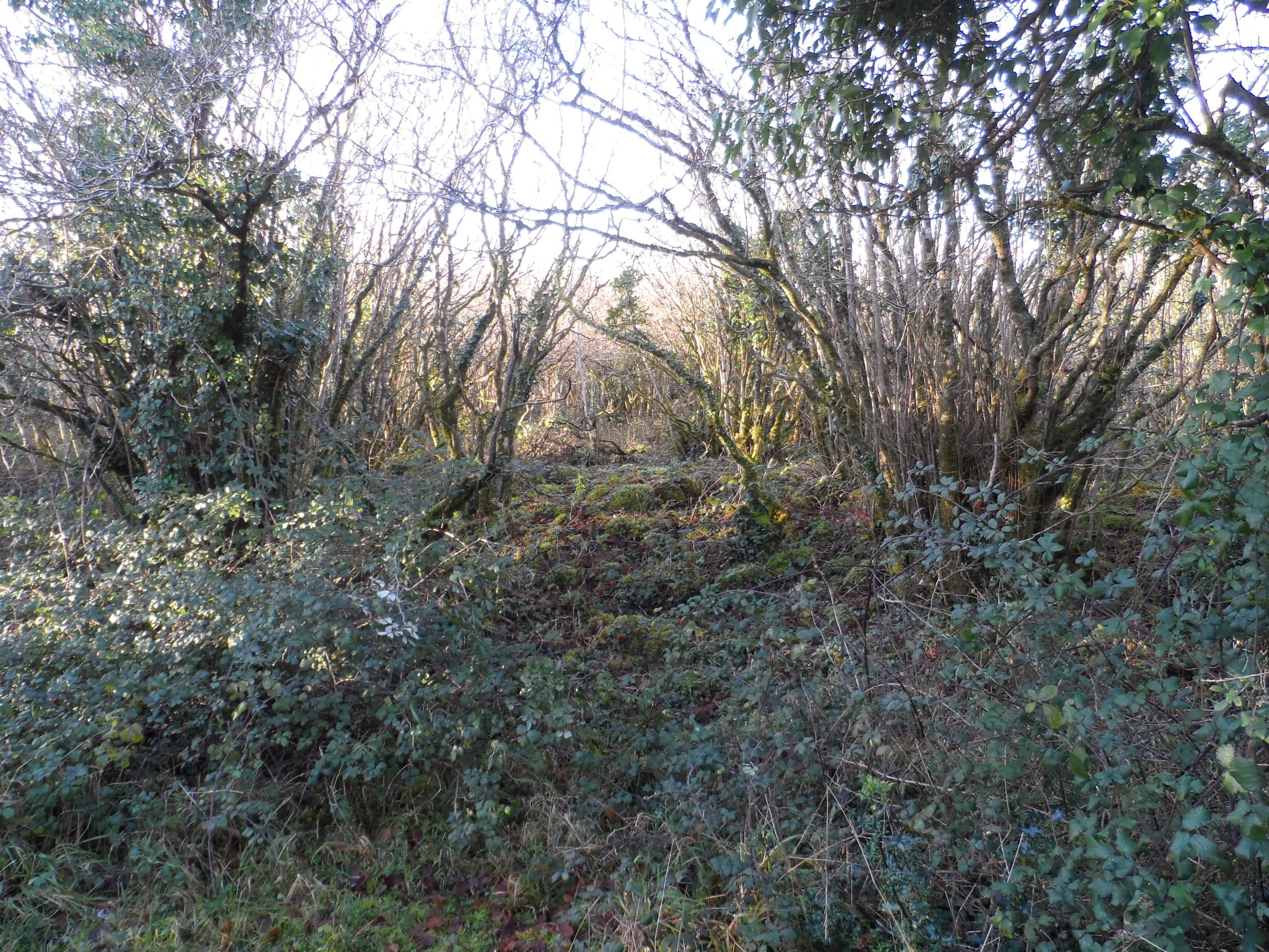
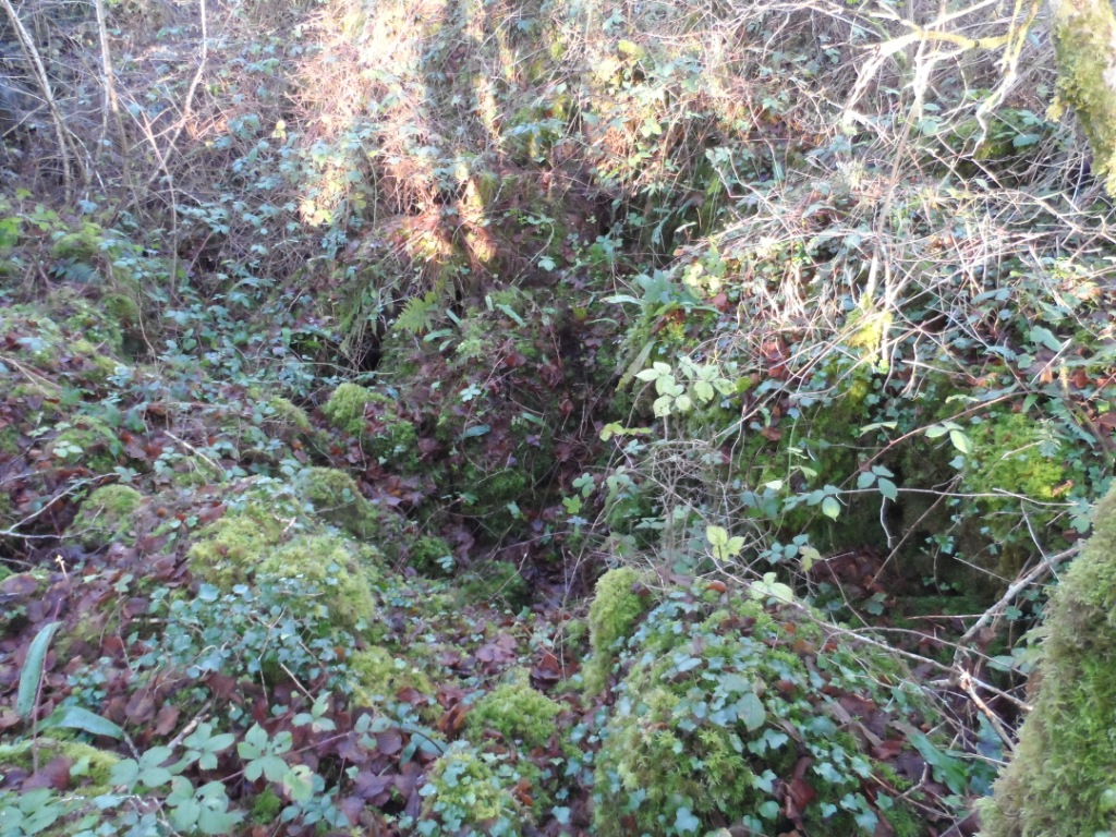
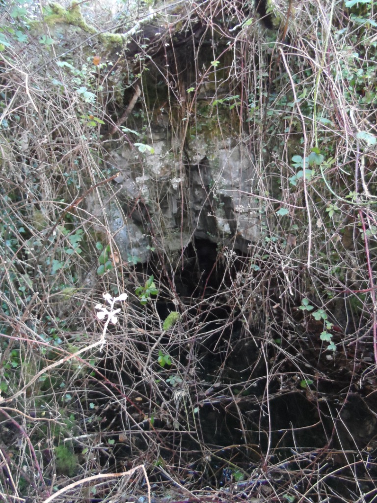
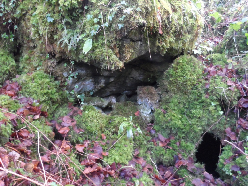
This holy well is listed in the Record of Monuments and Places database as being is in an area of dense scrub. An initial search for the holy well revealed nothing. A second search took place in winter when the vegetation was less dense and the site was eventually located, but not at the RMP location. The tell-tale sign was a collapsed barbed wire fence and small rusty gate hiding in the scrub. The well is below ground level and is filled with briars and scrub. It is hard to spot. It consists of a rift, lined with boulders, running north-west to south-east, and measuring roughly 10 metres long, 3 metres wide and 2.5 metres deep.
The south-east end of this rift has a small rock undercut and a muddy pool. The north-west end consists of a tall vertical crack and contains a large pool, about 0.75 metres deep, 3 metres wide and 4 metres long. The water level in the well is probably the same as the water table and is linked to the turlough, or seasonal lake, located 50 metres east. There were no signs of any votive offerings at the site, or indeed any ‘man-made’ modifications to the rift at the time of the research visit. The vegetation around the holy well suggests that it has not been visited for many years.
Saint and Feast Day Associated with the Holy Well
Nothing is known of the practice at this holy well. The saint associated with this well, along with the feast day and any cures, have fallen out of memory and do not appear in historical records.
Natural Heritage around the Holy Well
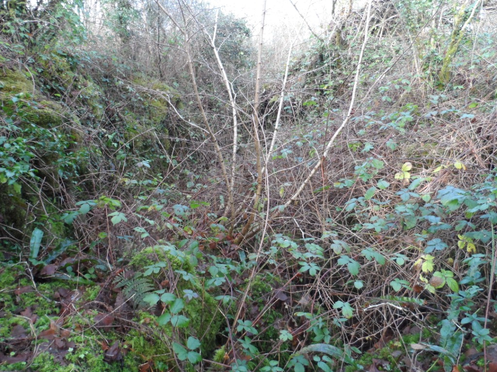
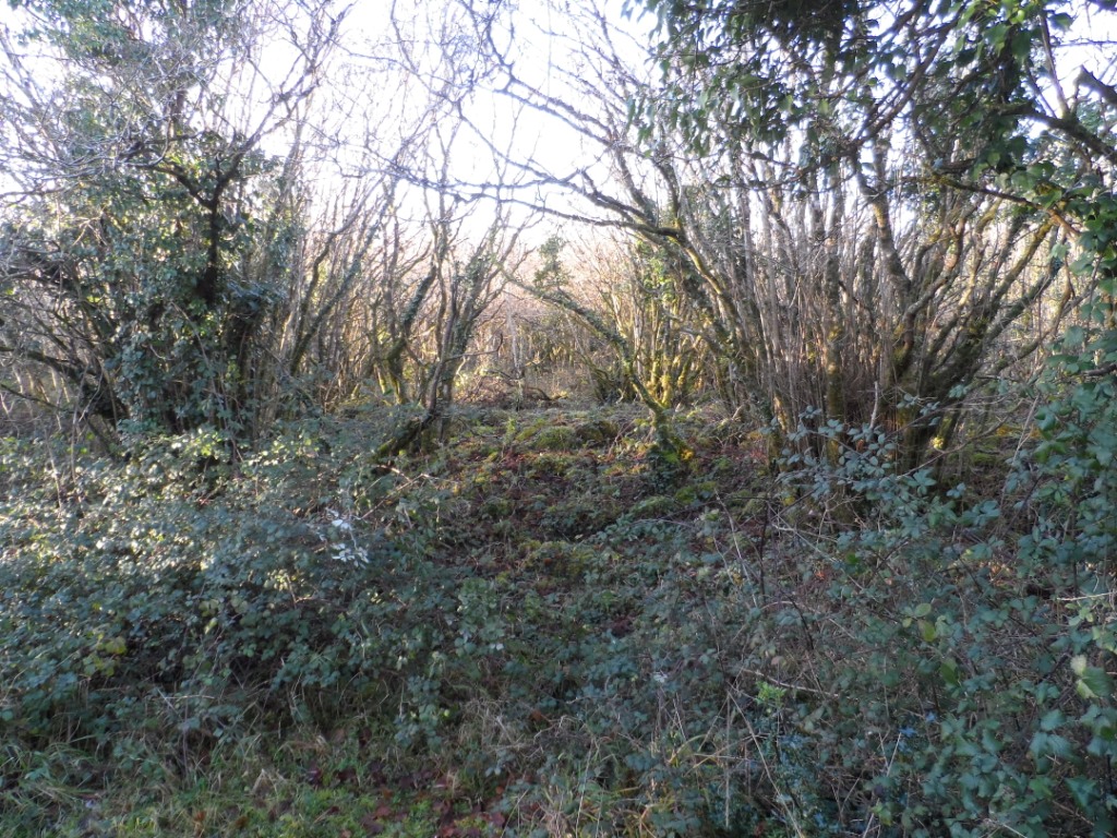
The well is located in an n area of dense hazel and briar scrub with occasional small trees. This is broken by patches of bare limestone pavement with deep grikes. The land slopes down from a boundary wall with grazing fields to the north-west and a partially flooded turlough to the south-east.
Record of Monuments and Places Number
RMP CL011-019


No Comments
Add a comment about this page