Tobar Na Glasha, The Well of the Stream, Knockans Upper


Townland: Knockans Upper
Knockans from the Irish ‘Cnocán’, meaning ‘Little Hill’.
Description of Holy Well and Landscape Setting
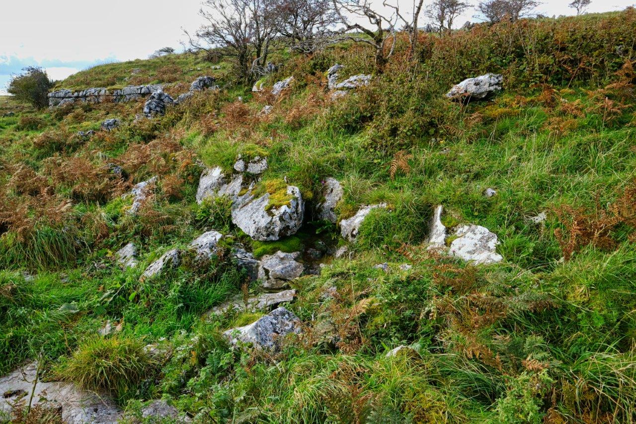
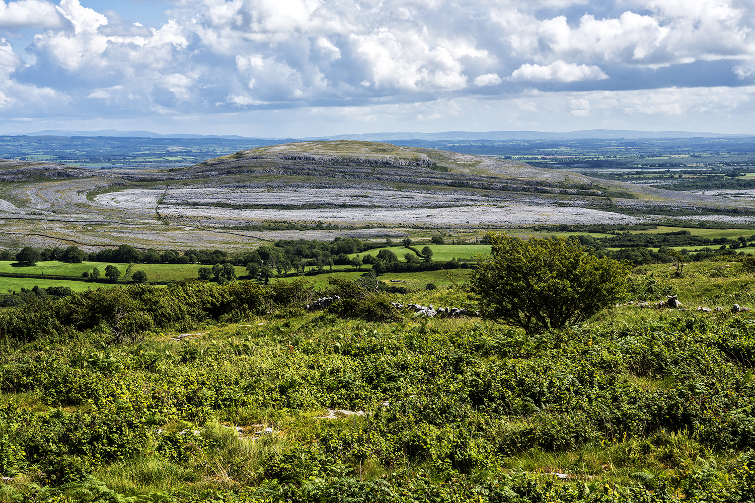
This holy well lies on high ground at the eastern side of the Slieve na Glasha Plateau. This plateau is very rich in archaeology (including the well at Tobar na Glaise), and folklore related to the legend of ‘Lon and the Cow’
(see ‘Discover More’).
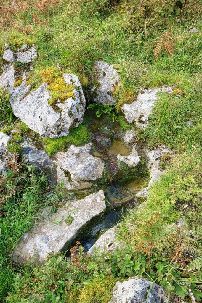
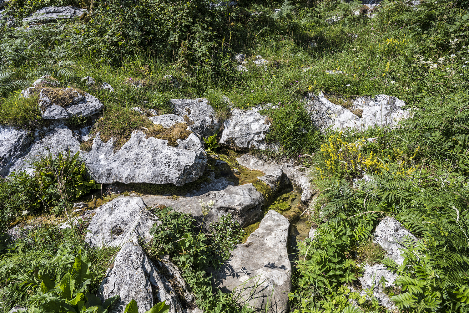
The well is located at a very significant geological contact point between the Burren Formation and the youngest limestones of the area, the Slieve Na Glasha Formation. Lots of water emerges at this contact area throughout the Burren. Tobar Na Glaise is actually a flowing spring as opposed to a true well.
Saint and Feast Day Associated with Holy Well
The name of this well is an anglicisation of the Irish ‘Tobar Na Glaise’, which means ‘The Well of the Stream’. There were no offerings at well at the time of the research visit and no record survive of the pattern date or rituals associated with the holy well.
By contrast , the pattern date at nearby Tobar Colmcille is still vivid in the memory of some older local people.
Perhaps these two wells experienced different fates – Tobar na Glasha may have been a local well overshadowed and outlasted by Tobar Colmcille , a well of regional significance.
Tobar Na Glasha is one of the few holy wells listed in ‘The Book of the Burren’ by Lelia Doolan, that does not have an associated cure.
Natural Heritage around the Holy Well
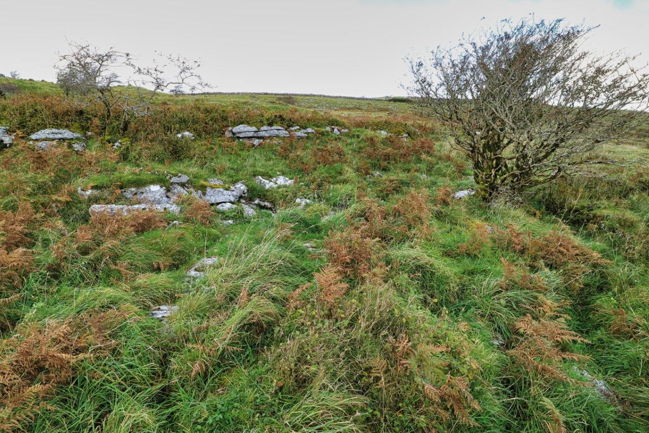
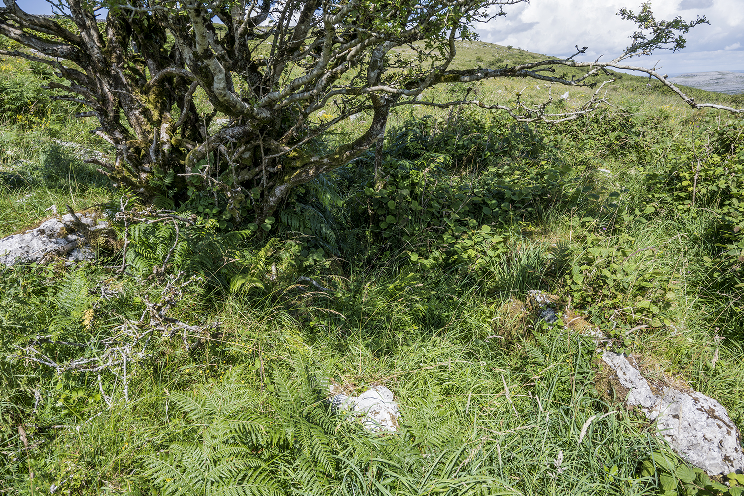
The well is located in an area typical of the Burren Uplands, with limestone pavement, thin soils and a limited amount of scrub. This mosaic of pavement and soil is species rich and is a priority EU flower habitat.
Winter grazing of these uplands by cattle, also known as winterage, is practised right across the hill each year.
Heritage Attractions Nearby
The Burren National Park is 5 kilometres south of the holy wellsite. Corofin Village is 13 kilometres away in a south-east direction.
Discover More…
The Legend of Lon Mac Liomtha, Clare County Library
Doolan, L 2001, in O’Connell, J.W, Broad, R and Korff, A (Eds.), The Book of the Burren, Tír Eolas, Kinvara
Record of Monuments and Places Number
RMP CL 010-06443
Special Area of Conservation


No Comments
Add a comment about this page