
Townland: Bouleevin
Description of Holy Well and Landscape Setting
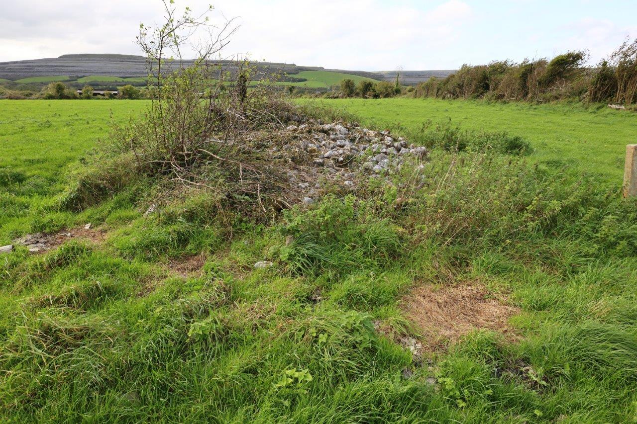
This holy well is located 50 metres west of a very overgrown ecclesiastical enclosure. The enclosure includes an old convent, chuch and cillín. It is about 10 metres out from the field boundary.
A photograph in the 1998 book ‘The Parish of Kilkeedy: a local history’, by Frank Brew, shows the site surrounded by small trees. These trees have since been cut down and all that remains at the site is the pile of stones, approx 1 metre high and 4 metres in diameter. Brew explains that the well is reputed to have been filled in after a child drowned in it. On the 1842 Ordnance Survey map the holy well is listed as ‘Well-site of’ hinting that it may have been in decline even then.
Saint and Feast Day Associated with Holy Well
Nothing is known of the practice at this holy well. The saint associated with this well, along with the feast day and any cures have fallen out of memory and do not appear in historical records.
Natural Heritage around the Holy Well
The field where the well is located is fairly dry improved pasture sloping down to the road. The boundary is made of typical hedgerows and drystone walls.
Discover More…
The holy well is listed on the Ordnance Survey map 1842
Brew, F 1998, The Parish of Kilkeedy: a local history, published by Author, Tubber


No Comments
Add a comment about this page