Tobar Iníon Baoith, locally Saint Colman’s Well, Kiltackymore


Townland: Kiltackymore
Description of Holy Well and Landscape Setting
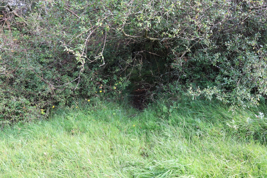
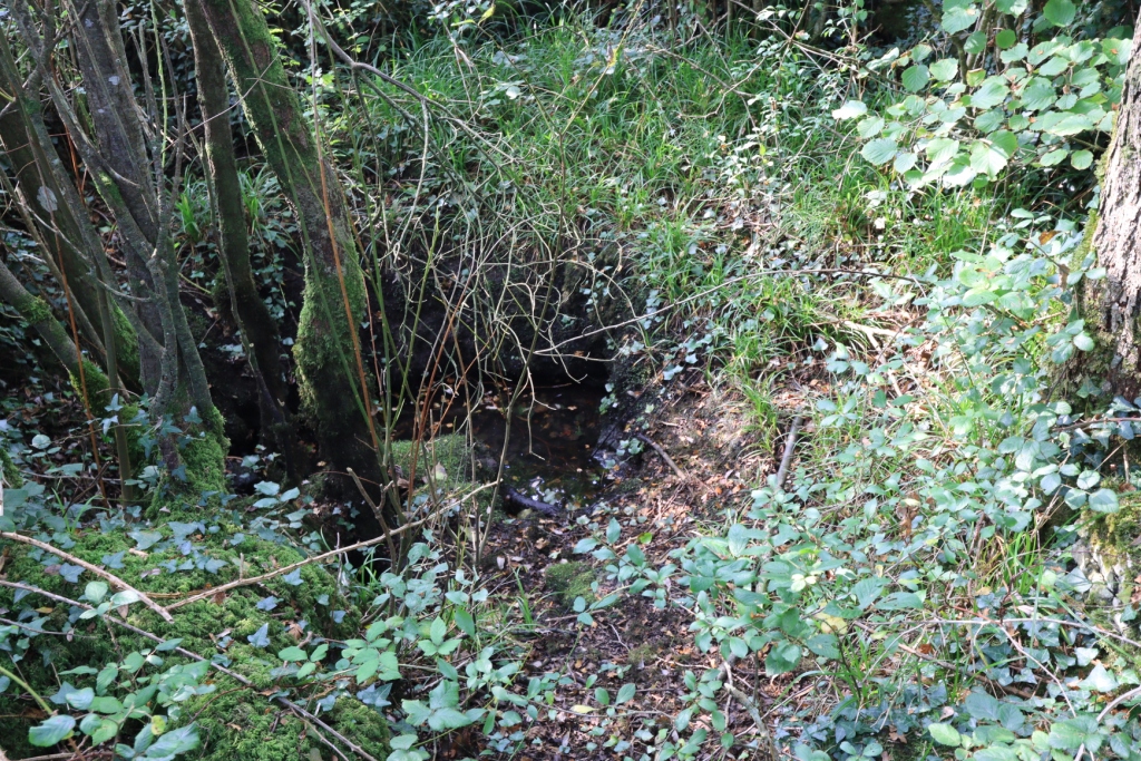
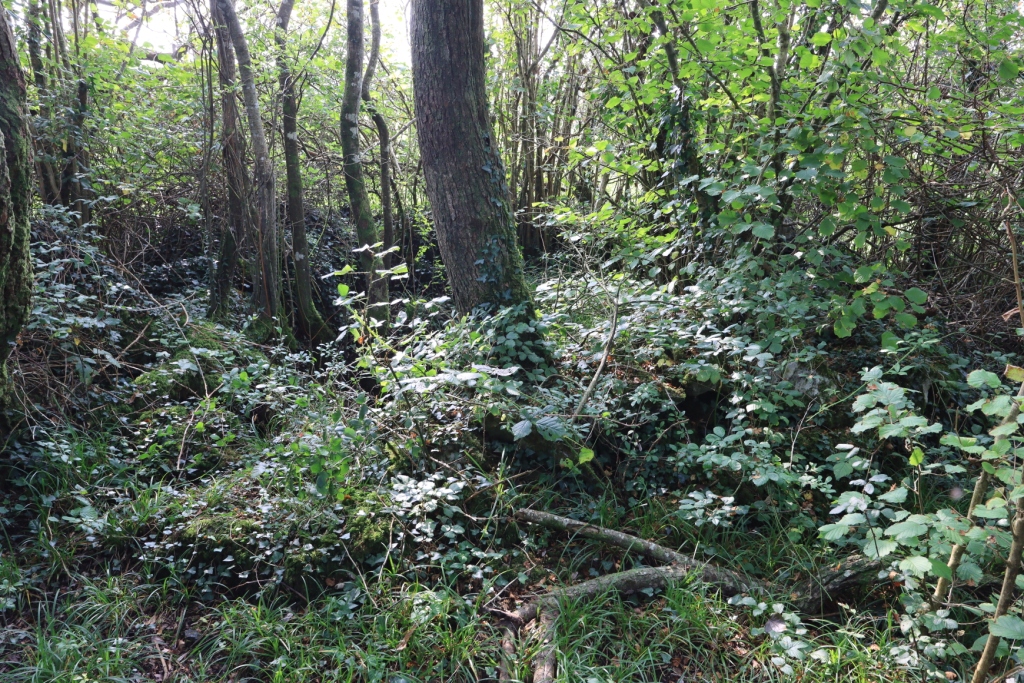
This holy well is located at the north-east field boundary in the middle of a stand of trees and briars. It is at the edge of a turlough and in wet conditions the entire area would flood. This is referenced on the 1842 Ordnance Survey map. On the day of the research visit a dry route had to be picked out round the field boundary to avoid the wet and boggy central area. Scrub and briars grow around. Twenty years ago in his book ‘A Kilkeedy Parish History’, Frank Brew described the well as ‘Toberineenaboy, a pool surrounded by a dry stone wall and shaded by a large bush’. Unfortunately the well is now a small muddy pool situated among large tree roots alongside the fallen remains of the wall. It is believed that in the past there may have been a direct path to the well from the nearby ruined church and graveyard that lie 500 metres to the north-east.
Saint and Feast Day Associated with Holy Well
In her book ‘Forgotten Stones’, Avril Swinfin references a 1740 poem written by Andrew Curtain. This poem speaks of the holy well as one of 12 dedicated to ‘Inghine’, the daughter of Baoith.
Writing as part of their work with the Ordnance Survey in 1839, John O’Donovan & Eugene O’Curry attribute the well to Saint Ineenboy in Kill-taice (or Ciltaice).
T.J. Westropp writes in the early 1900s that the well is dedicated to Inghean Baoith.
More recently, the well has been dedicated to Saint Colman locally.
According to O’Donovan and O’Curry, the pattern day at this holy well was 29th December and the holy well was still being visited on the pattern day in 1839.
No votive offerings of any sort were present at the well at the time of the research visit.
Natural Heritage around the Holy Well
The area beside the holy well is a turlough or seasonal lake, surrounded by rough unimproved summer grazing. To the north-west is a higher area of limestone pavement,typical of the Burren Landscape.
Heritage Attractions Nearby
There is a large fulacht fiadh near entrance to field. There is also a ruined church and graveyard near the holy well site.
Discover More…
Brew, F 1998, The Parish of Kilkeedy: a local history, published by Author, Tubber
Swinfin, A 1992, Forgotten Stones: Ancient Church Sites of the Burren, The Lilliput Press, Dublin
Ordnance Survey Letters, Royal Irish Academy
Ordnance Survey Letters, Ask About Ireland
Westropp, T.J. 1910 and 1913, ‘A Folklore Survey of County Clare


No Comments
Add a comment about this page