Drumellihy Holy Well No. 2 or Our Lady’s Holy Well, Drumelihy Westby


Townland: Drumelihy Westby, Kilmacduane
Description of Holy Well and Landscape Setting
The area where this well was once situated is reached by following the R483 and continuing along two local roads.
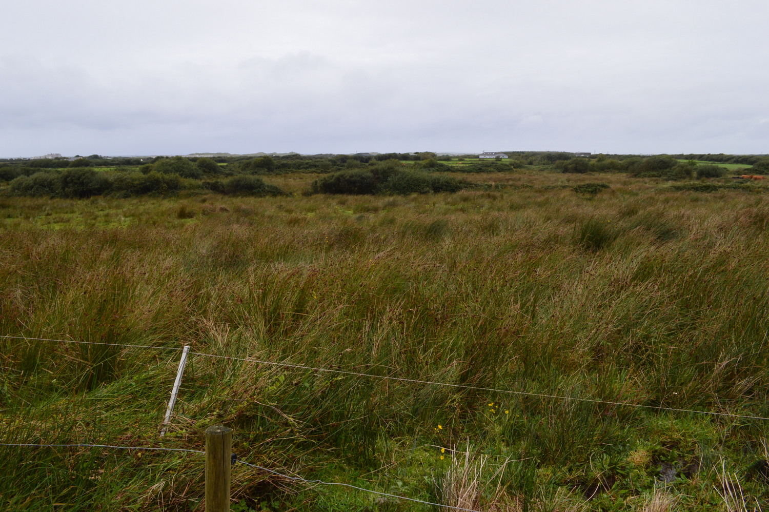
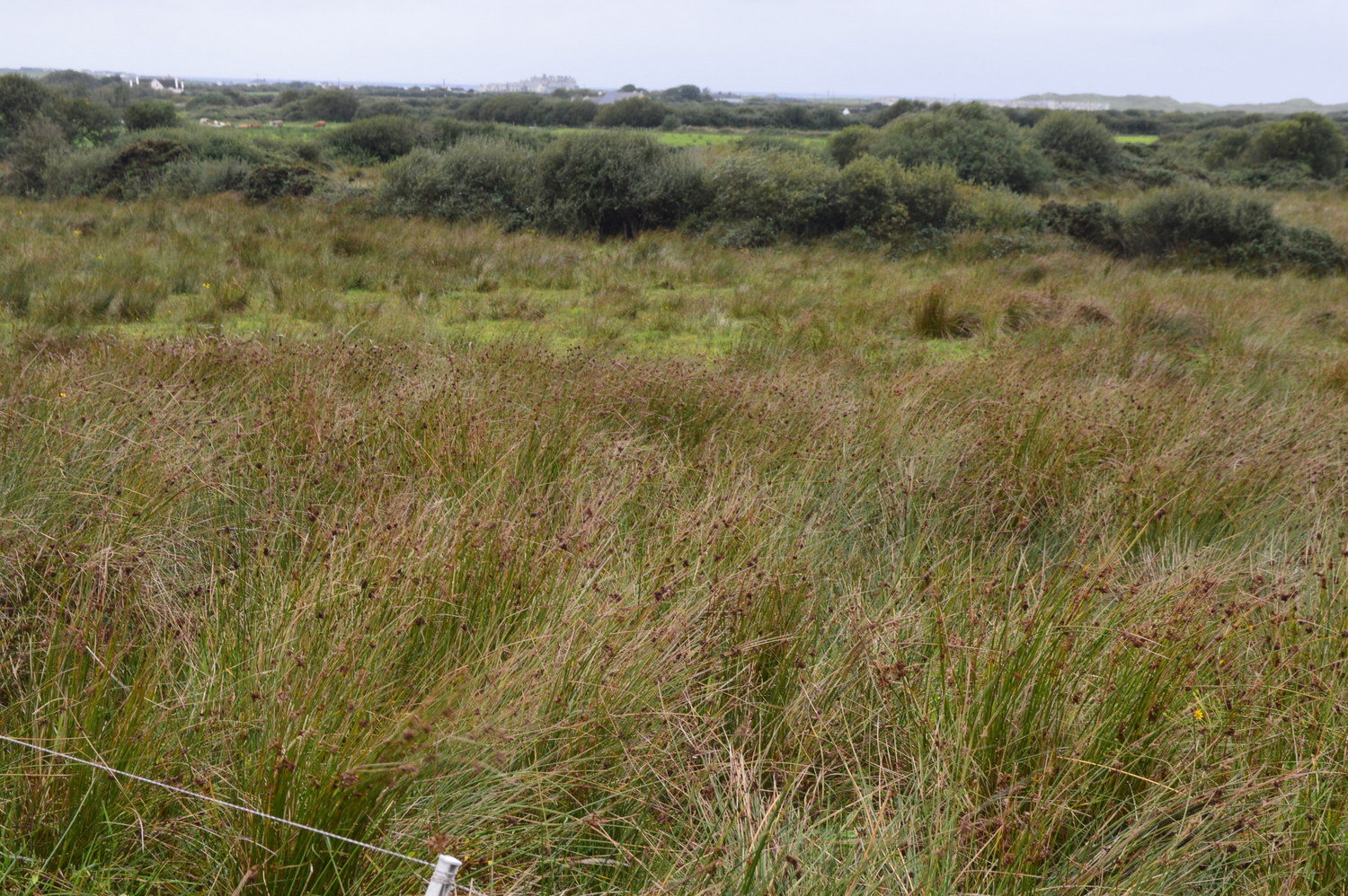
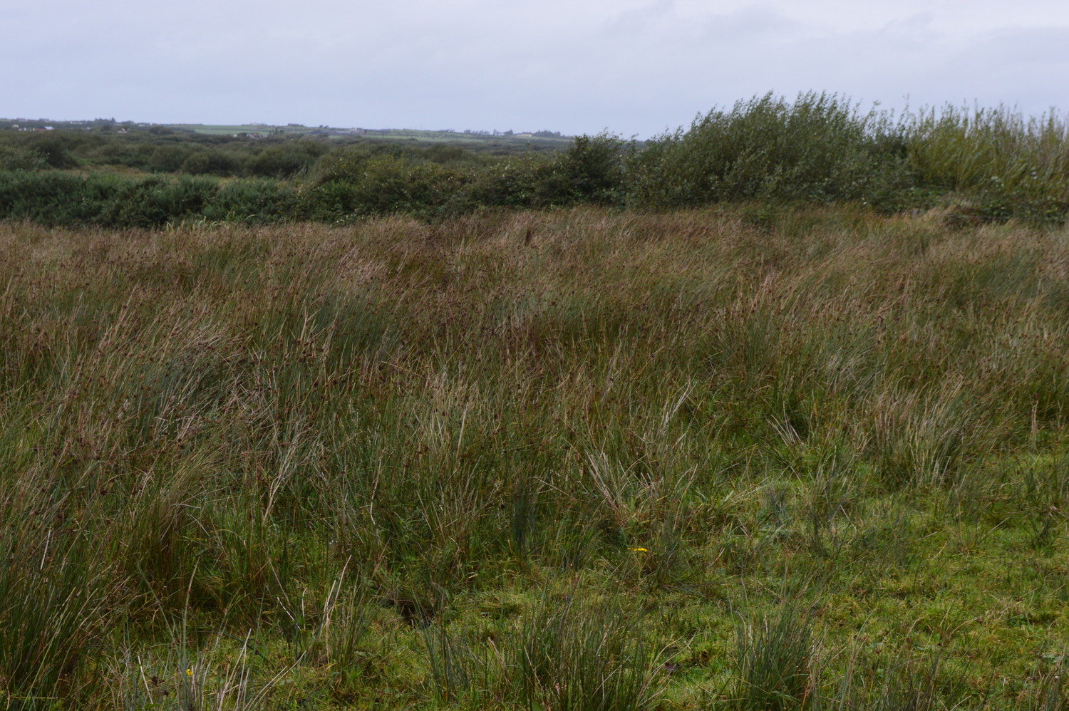
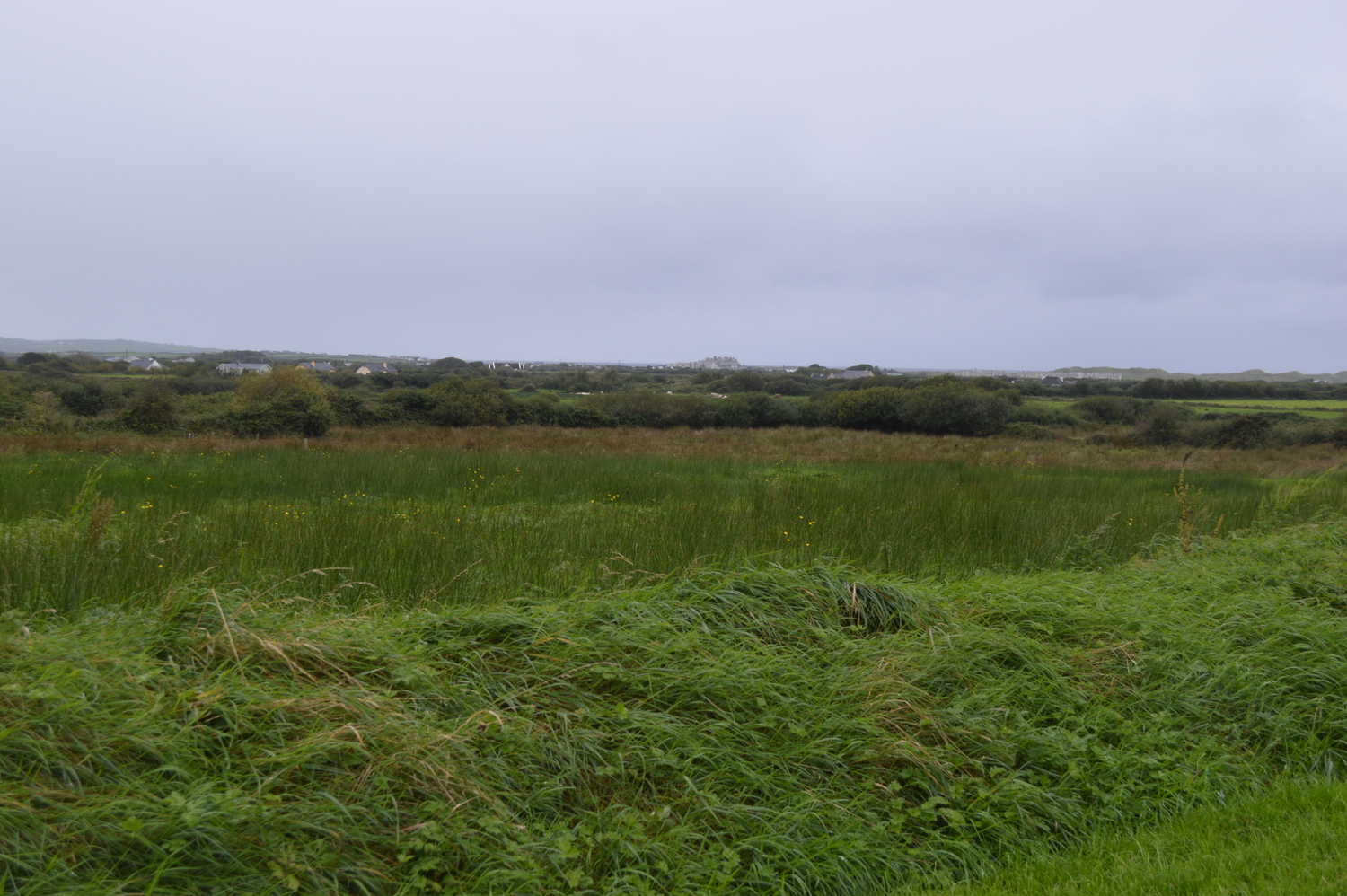
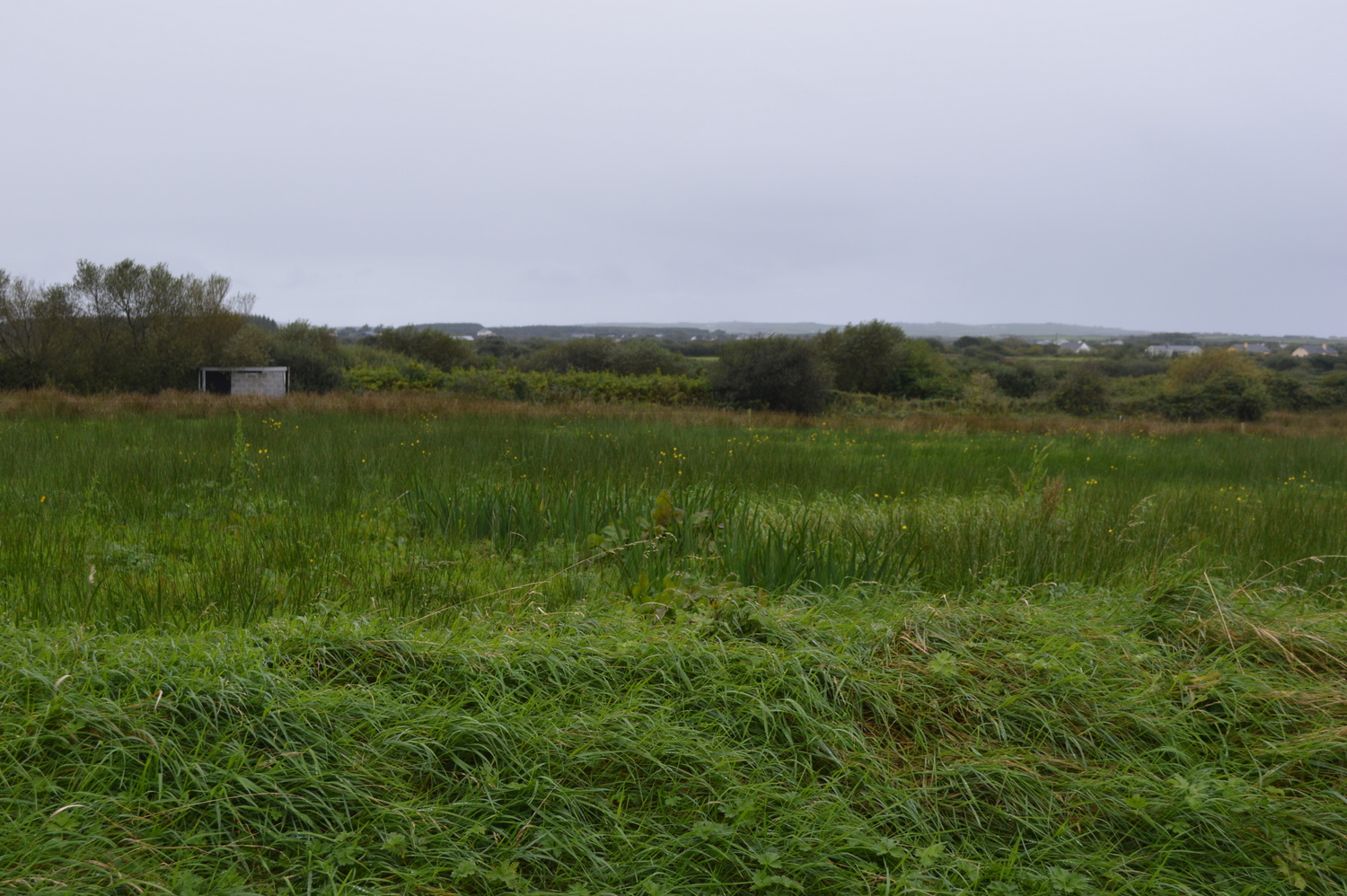
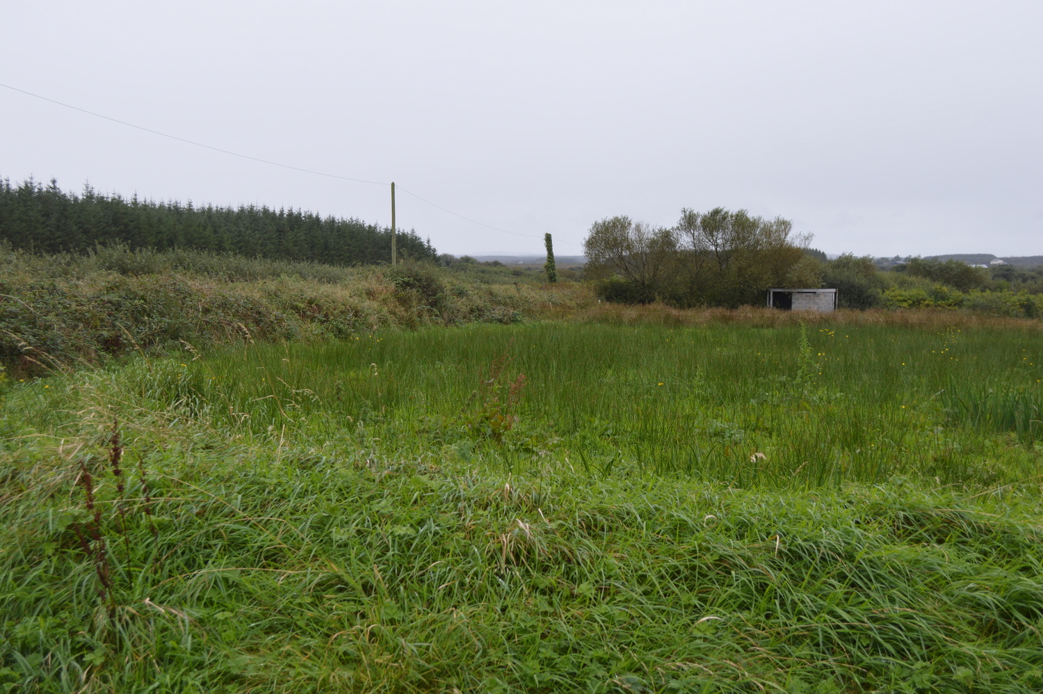
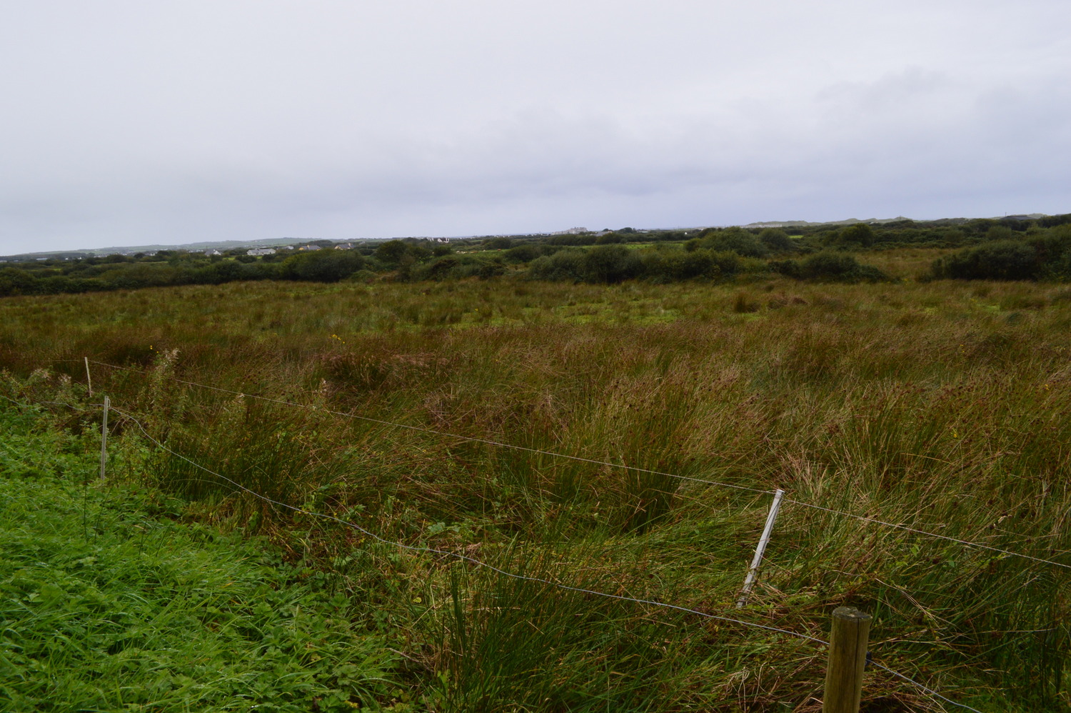
While the 1842 Ordnance Survey Map shows the location of this holy well, there is nothing at the site now except rushes. It was explained by a local that the well ‘moved’ in 1844 to its current location. This is not uncommon for holy wells in County Clare. There is no memory of a holy well in the area amongst locals.
Saint and Feast Day Associated with Holy Well
This is the second holy well dedicated to the Blessed Virgin Mary in the townland of Drumelihy. Its memory appears to be long eclipsed by the other, more prominent holy well dedicated to Our Lady in Drumellihy, a short journey away. This well site lies just a little further south and then east along a narrow road.
Natural Heritage around the Holy Well
The area around the holy well site is coarse grassland. Hedges nearby contain blackthorn, alder and willow. Reeds and rushes seem to make up most of the foliage at the site
Heritage Attractions Nearby
Cooraclare Village is roughly 10 minutes from the holy well site. Kilrush and the coast are to the west and Ennis Town is to the east.
Additional Information
Eugene O’Curry, Ordnance Survey Letters, 1839:
‘There is another Holy Well dedicated to the Virgin Mary in the Townland of Drummelahy Westby, at which Stations continue to be performed still’.
Discover More…
Ordnance Survey Letters, Royal Irish Academy
Ordnance Survey Letters, Ask About Ireland
Record of Monuments and Places Number
RMP-CL047-027


No Comments
Add a comment about this page